Monitoring Network TM-71 |
Bozkovske dolomitic caves
(Czech republic) |
| Site: |
Bozkovske dolomitic caves |
| Country: |
Czech republic |
| Coordinates: |
N 50°38'50,30''
E 15°20'18,60'' |
| Google Earth: |
If you can´t see anything, try to zoom out the map.
Download KML file for Google Earth |
| Gauge count: |
3 |
| Position: |
Cave situated north from Bozkov village |
| Geological situation: |
Bohemian massif, Zelezny Brod crystalline unit, metamorphic limestones |
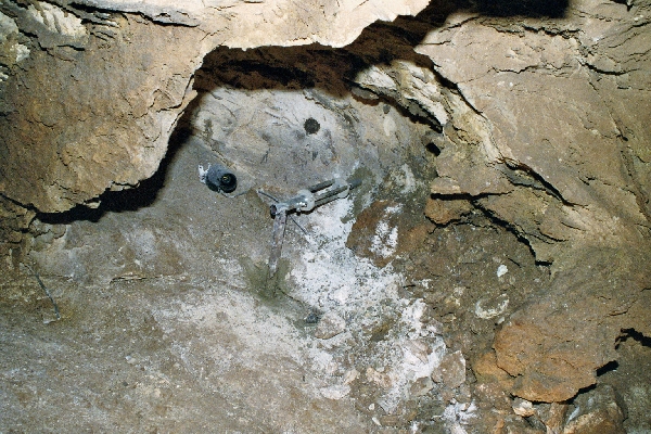
Observed
fault 1 |
Bozkov 1
Course of inclination: 45 ° / Sklon: 89 °
Installation date: 05/2008 |
Observed
fault 2 |
Bozkov 2
Course of inclination: 230 ° / Inclination: 86 °
Installation date: 04/2008 |
Observed
fault 3 |
Bozkov 3
Course of inclination: 296 ° / Sklon: 89 °
Installation date: 04/2008 |
| Coopering institutions: |
Cave Administration of the Czech republic (web) |
| References: |
Briestensky, M., Thinova, L., Stemberk, J., Rowberry, M. D., 2011: The use of caves as observatories for recent geodynamic activity and radon gas concentrations in the Western Carpathians and Bohemian massif. Radiation Protection Dosimetry, Vol. 145, No. 2–3, pp. 166–172.(download) |
Picture/Photo:
(click for enlarge) |
 |
| |
Situation of gauges |
Picture/Photo:
(click for enlarge) |
 |
| |
|
Picture/Photo:
(click for enlarge) |
 |
| |
|
|


