Monitoring Network TM-71 |
Beckovska cave
(Slovakia) |
| Site: |
Beckovska cave |
| Country: |
Slovakia |
| Coordinates: |
N 48°48'4,8''
E 17°55'29,0'' |
| Google Earth: |
If you can´t see anything, try to zoom out the map.
Download KML file for Google Earth |
| Gauge count: |
1 |
| Position: |
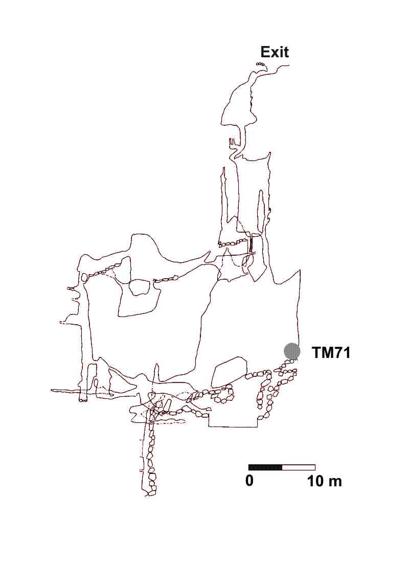
Považský Inovec Mts.,cadastre of Beckov village |
Observed
fault 1 |
Course of inclination: 310 ° / Sklon: 80 °
Installation date: 4/2008 |
| Coopering institutions: |
GÚ SAV (http://www.geol.sav.sk)
ŠGÚDŠ Košice (http://www.geology.sk)
|
| References: |
Briestenský, M., Stemberk, J. (2008): Micromovements monitoring in caves of western Slovakia. Slovenský kras, 46/25, 77-83, (In Slovak).
Briestenský, M., Košťák, B., Stemberk, J., Petro, L., Vozár, J., Fojtíková, L., 2010: Active tectonic fault microdisplacement analyses: a comparison of results from surface and underground monitoring in western Slovakia. Acta Geodynamica et Geomaterialia v. 7, NO. 4 (160), 389-397. (download)
|
Picture/Photo:
(click for enlarge) |
 |
| |
Situation of gauge |
Picture/Photo:
(click for enlarge) |
 |
| |
Map of the cave (source) |
|


