Monitoring Network TM-71 |
El Hierro 3
(Spain
Canary Islands, El Hierro Island) |
| Site: |
El Hierro 3 |
| Country: |
Spain
Canary Islands, El Hierro Island |
| Coordinates: |
N 27°47'39,30''
W 17°53'50,40'' |
| Google Earth: |
If you can´t see anything, try to zoom out the map.
Download KML file for Google Earth |
| Gauge count: |
1 |
| Position: |
Continuation of the San Andrés fault, left margin of a temporary aborted deep-seated landslide. |
| Sesuv: |
giant landslides on a vulcanic island |
Observed
fault 1 |
Course of inclination: 189 ° / Sklon: 81 °
Installation date: 1/2013 |
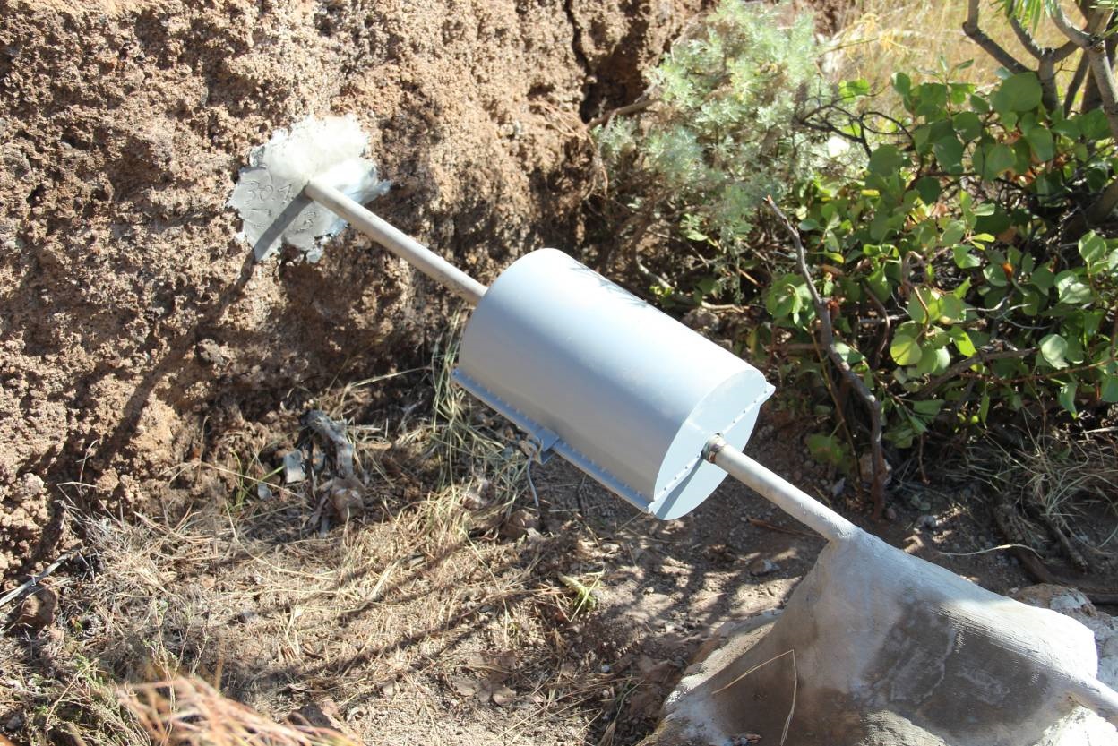
Picture/Photo:
(click for enlarge) |
 |
| |
Hierro 3 |
|


